- RideWithGPS route can be uploaded to your navigation device.
Remember that road or weather conditions may require us to change the route shortly before the event, and we will make our best effort to revise the RideWithGPS route if necessary. - A printable PDF of the map and cue sheet will be emailed to registered riders. Paper copies of these route sheets will also be available at rider check-in.
- Total distance of the route: 194.3 miles with 9010 feet of climbing
- Ride Start/Finish:
Veterans Memorial Center, 203 East 14th Street (at B Street) in Davis - Change for 2026 route: Rest Stop #7 is now at Capay, instead of Forbes Ranch.
- Detailed route description:
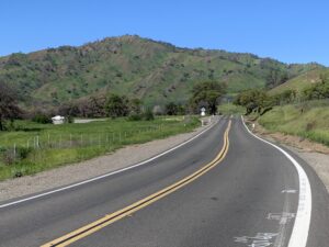
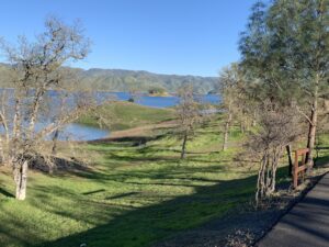
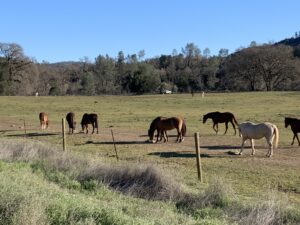
The first 25 miles is a flat “warmup” in the agricultural lands north and west of Davis, and then south again to Winters. The first rest stop is on Highway 128 six miles east of Winters, two miles before Monticello Dam. The first climb starts shortly before the dam. After the dam comes the climb up Cardiac Hill where the road heads away from Lake Berryessa and on to Moscowite Corner (Hwy 121 junction) and Capell Valley. At Turtle Rock junction, the route turns right off Highway 128, onto Berryessa-Knoxville Road back toward Lake Berryessa where the road skirts the west shore with good views and good road surface. The second rest stop is at the intersection of Berryessa-Knoxville and Pope Canyon Roads. The route leaves the lake again following Pope Canyon Road to Pope Valley Road heading northwest through rolling hills passing Pope Valley and Aetna Springs in the lightly traveled, northern reaches Napa County. Crossing into Lake County, the route becomes somewhat more hilly, and then flattens out a few miles before the third rest stop in Middletown, at Mile 94.
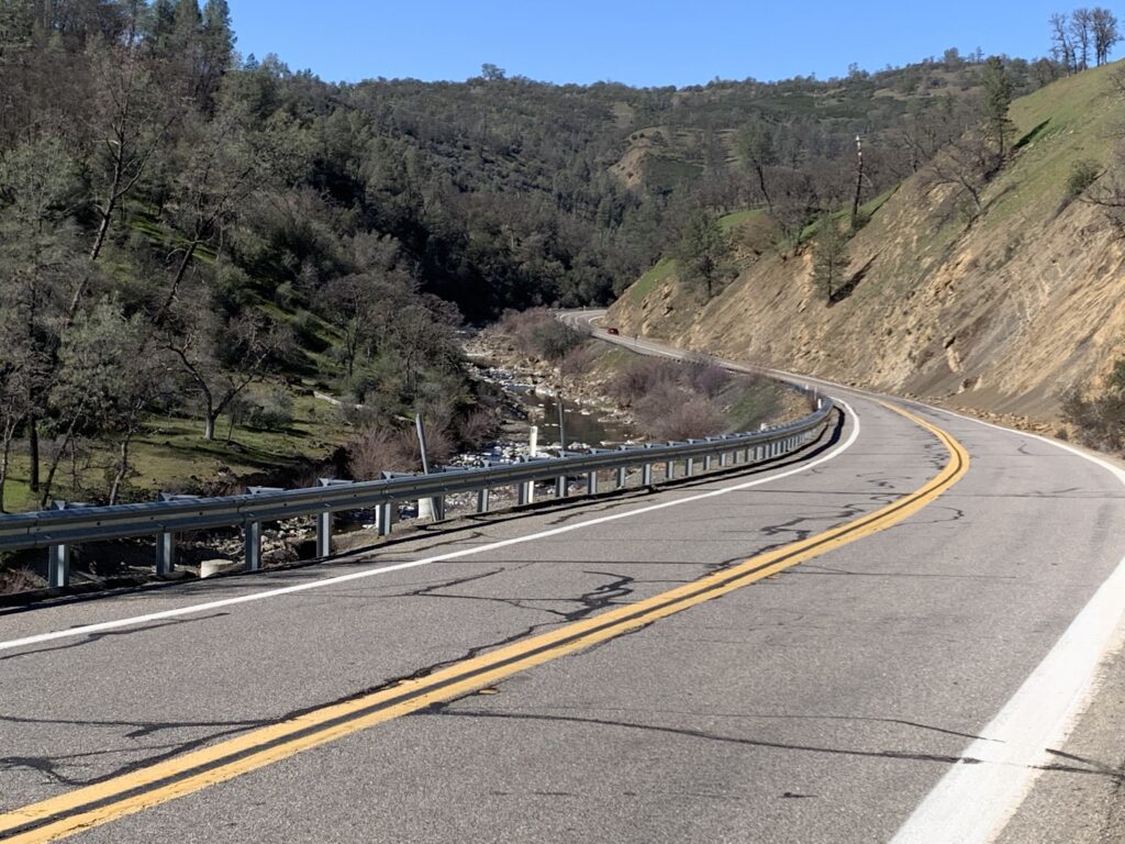
After Middletown, the route heads up scenic Big Canyon. Four miles of this road are hard-pack dirt with small, gentle rollers and a gradual grade to the highest elevation of the ride, 2191 ft. At the end of Big Canyon Road, the route turns east onto Seigler Canyon Road and then right on Highway 29 to the lunch stop at Russell Rustici Park in Lower Lake, near where Cache Creek flows out of Clear Lake. From Lower Lake, the route turns north on Highway 53, then east onto Highway 20 which includes the long gradual climb to the fifth rest stop just before Resurrection summit followed by a long, fast descent to Bear Creek where the route turns south on Highway 16 toward scenic Cache Creek Canyon.
The highway winds through the sharp eastward turn of the canyon and then south into the beautiful Capay Valley and the sixth rest stop in the town of Guinda. The route continues south past the Cache Creek Casino and east through the town of Capay, the new location of the seventh (and final) rest stop just before the route turns off of busy Highway 16 and passes near the next town, Esparto. From there, the route zigzags southeast along lightly traveled county roads through farmland to the finish in Davis.